There were sometimes prominent cracks in the rock.
|
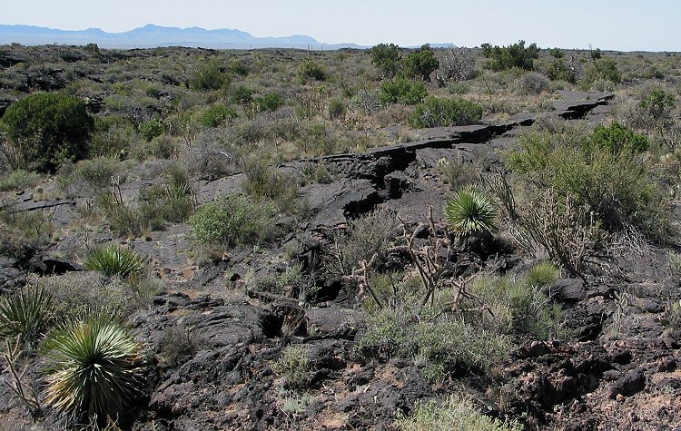
There were sometimes prominent cracks in the rock. |
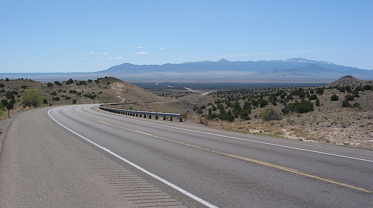
After climbing the Sierra Oscuras, I looked back down US 380, which can be seen snaking off into the distance. Snow-capped Sierra Blanca is visible on the right. US 380 had wide shoulders with narrow bike-friendly rumble strips. |
|
|
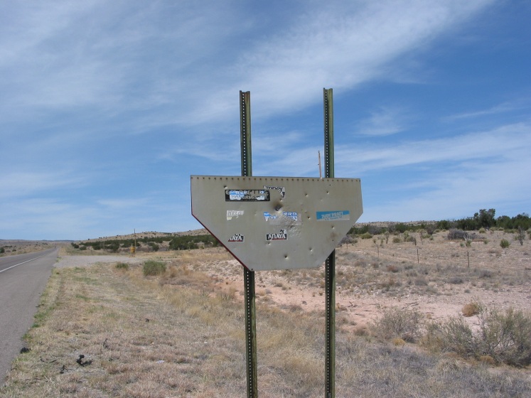
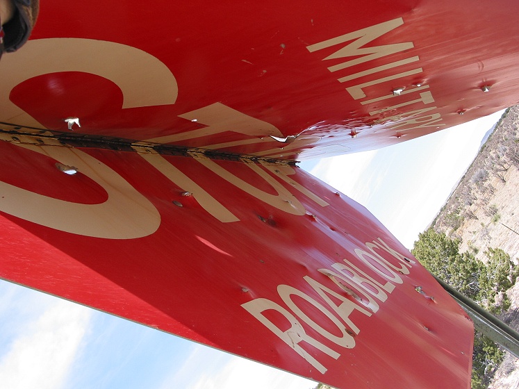
This folded-over stop sign was in the middle of nowhere by the side of US 380. I guessed what it was for, but I had to peek to see if I was right... |
... yes, it was a sign to close the road for the military. US 380 skirted the northern boundary of White Sands Missile Range, most famous for the Trinity Site, the spot where the world's first atomic bomb was exploded. The Trinity Site itself was about 20 miles south of the highway. |
|
|
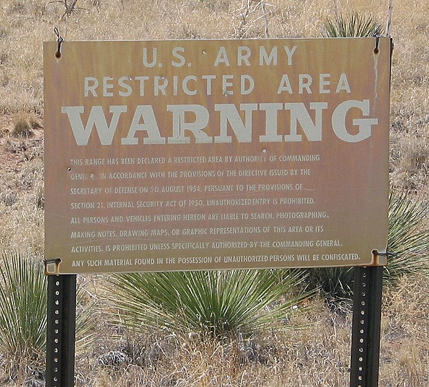
" This range has been declared a restricted area by authority of commanding general in accordance with the provisions of the directive issued by the Secretary of Defense on 20 August 1954, persuant to the provisions of Section 21, Internal Security Act of 1950. Unauthorized entry is prohibited. All persons and vehicles entering hereon are liable to search. Photographing, making notes, drawing maps, or graphic representations of this area or its activities, is prohibited unless specifically authorized by the commanding general. Any such material found in the possession of unauthorized persons will be confiscated." |
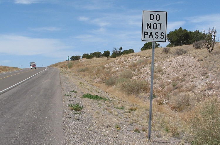
My hot, dehydrated, tired brain decided it would be hilarious if one of the mountain passes was named " Do Not Pass." This was the closest I could find to a pass labeled as such. |
|
|
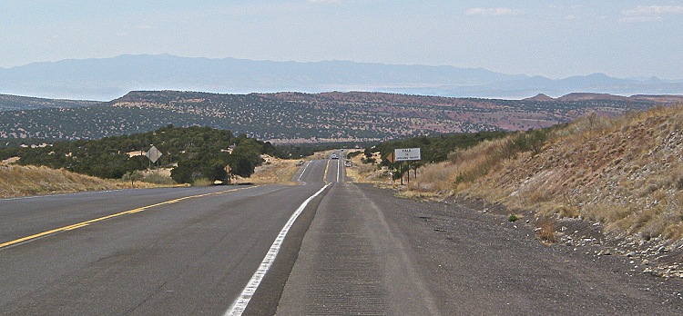
An hour later, I was still going up and down hills. |
Copyright © 2002-2013 David Johnsen. All rights reserved.